-
- Out of Stock
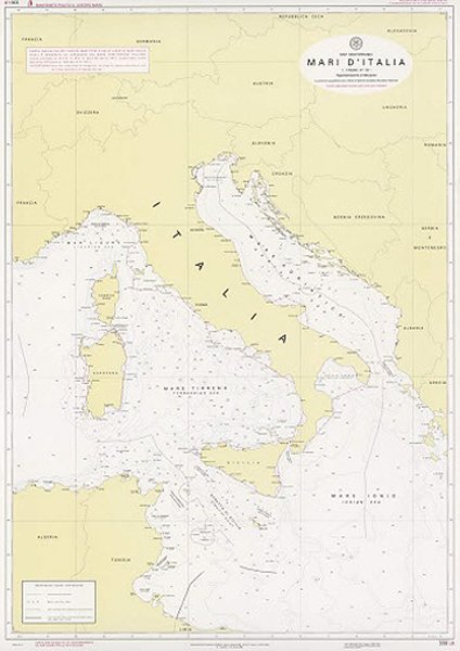
- Mari d’Italia – Carta indicativa dei confini marittimi e delle linee di base
- Carta 330LB
- publisher: Italian Navy Hydrographic Institute
- €32,00
-
-
- Out of Stock
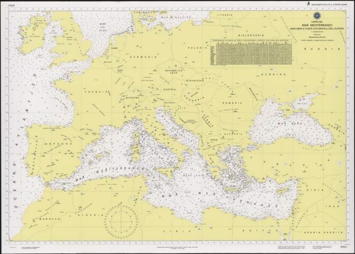
- Mar Mediterraneo, Mar Nero e coste occidentali dell’Europa
- Carta 370/1
- publisher: Italian Navy Hydrographic Institute
- €32,00
-
-
- Out of Stock
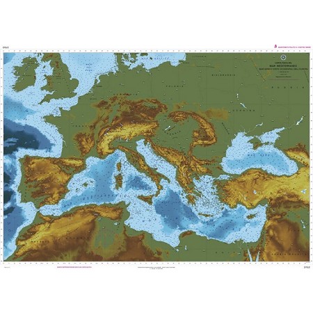
- Carta fisica – Mar Mediterraneo Mar Nero e coste occidentali dell’Europa
- Carta 370/2
- publisher: Italian Navy Hydrographic Institute
- €32,00
-
-
- Out of Stock
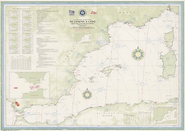
- Da Genova a Cadiz – Carta della regata di Colombo
- Carta 500
- publisher: Italian Navy Hydrographic Institute
- €15,00
-
-
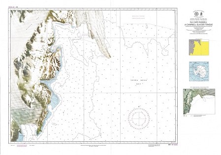
- Out of Stock
- Da Capo Russell a Campebell Glacier Tongue
- Carta 881
- publisher: Italian Navy Hydrographic Institute
- €32,00
-
-
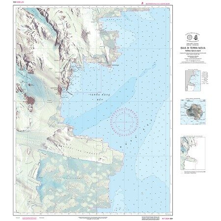
- Out of Stock
- Baia di Terra Nova (Terra Nova Bay)
- Carta 884
- publisher: Italian Navy Hydrographic Institute
- €32,00
-
-
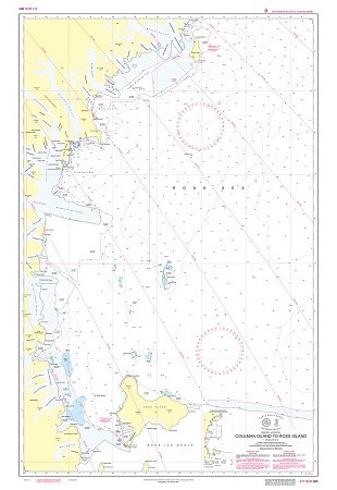
- Out of Stock
- Coulman Island to Ross Island
- Carta 885
- publisher: Italian Navy Hydrographic Institute
- €32,00
-
-
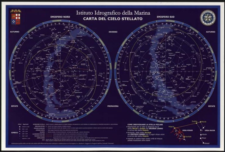
- Out of Stock
- Carta del cielo stellato
- Carta 1010
- publisher: Italian Navy Hydrographic Institute
- €5,00
-
-
- Out of Stock
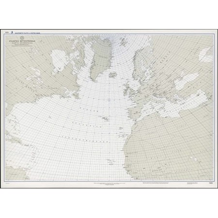
- Atlantico settentrionale – Carta Gnomonica
- Carta 1020
- publisher: Italian Navy Hydrographic Institute
- €32,00
-
-
- Out of Stock
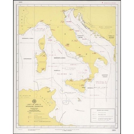
- Limiti ed aree di interesse operativo
- Carta 1315
- publisher: Italian Navy Hydrographic Institute
- €32,00
-
-
- Out of Stock
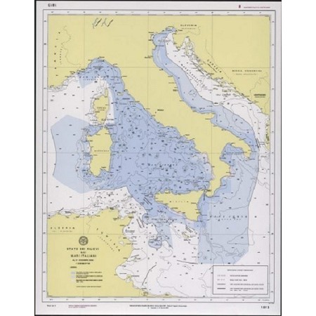
- Stato dei rilievi nei mari italiani al 31 dicembre 2016
- Carta 1813
- publisher: Italian Navy Hydrographic Institute
- €22,00
-


